Home » Uncategorized (Page 16)
Category Archives: Uncategorized
Railroad Overpass at Hudson Center

Railroad Overpass at Hudson Center
Town Seal and Flag

Town Seal 1965

Town Flag 1975
Minuteman Marker at Hudson Center Common 1975

Minute Man Marker Hudson Center Common
Shortly before midnight on April 18, 1775 a detachment of 800 British troops began their march from Boston to Lexington and Concord. The word of the impending battle was immediately sent by mounted messengers throughout the country; including the Merrimack Valley and Nottingham West, a distance of about 40 miles. Tradition says the news reached Nottingham West before noon of April 19 and mounted messengers again sent the word out to the various sections of our town. The message and the response was so quick that by that very same afternoon, 65 men equipped for war with muskets and ammunition had gathered at the Hudson Center Common ready to march to Lexington. These men were organized under the command of Captain Samuel Greeley and awaited his orders. The old military records are lost or destroyed but we do have the muster roll of this company of 65 men – all from Nottingham West. These men left for Lexington on the evening of April 19.
Before reaching their destination they were met by a courier who informed them of the retreat of the enemy. The command returned to Nottingham West. After this, many of these men enlisted in the army at Cambridge and at least 16 of them later fought at Bunker Hill in June of the same year.
Samuel Greeley was the oldest son of Samuel and Rachel Greeley. In 1740, at the age of 19, he came to Nottingham West from Haverhill and settled with his father on the Greeley Farm. This was a 200 acre farm just north of the Joseph Blodgett Garrison place on Lowell Road. Samuel married Abigail Blodgett, daughter of Joseph and Dorothy (Perham) Blodgett of the Blodgett Garrison in May 1744. He lived here until 1777, when at the age of 56, he and Abigail moved to Wilton; leaving the farm to his sons Joseph and Samuel. He died in Wilton. After his passing, his wife Abigail returned to town where she lived until the age of 95. While in Nottingham West Samuel was Town Clerk for about 28 years and on the Board of Selectmen for 14 years. He is remembered in our history as the Captain of the company of militia from Nottingham West who turned out 65 men as volunteers at the time of the Battle of Lexington April 19, 1775.
The Town Common at Hudson Center, originally about 2 acres of land, was used for many events including training for the town militia, Old Home Day activities, Chautauqua Programs, and recreation. In the early 1960’s the State of New Hampshire built the present route 111 through the center of the Common and eastward to West Windham. In 1962, the Board of Selectmen received a letter from the Hudson Fortnightly Club recommending that an historic marker commemorating the town’s minutemen be placed on that part of the Common which was not taken by the state for the highway. This was done by the town in 1963.
On April 19, 1975, some 200 years after the Battle of Lexington and as part of the United States bi-centennial activities a wreath was placed at this monument. For this event the carillon bells of the Baptist Church were played, and a floral wreath was placed by Phyllis Keeney, Selectman and a Past President of Fortnightly. The floral wreath was made by club member Mrs. Florence Bogan. Following the raising of the American Flag with color guards from Veteran’s Auxiliary and Girl Scouts and the singing of the National Anthem by Mrs. Bruce Cole, the Muster Roll of the 65 men was read by John Beaumont. A benediction and playing of God Bless America on the carillon bells closed the activities. This marker is located at the point of land on the common near Kimball Hill Road at the intersection with Central Street. Photo from the Historical Society collection.
Blodgett Garrison Marker

Blodgett Garrison Marker
Town Pound on Pelham Road C 1975

Town Pound on Pelham Road C 1975
This pound stands today, a relic of early times; maintained by our faithful Highway Department. Photo from the Historical Society Collection.
Site of First Town Meeting

Site of First Town Meeting of Nottingham in 1733
Bronze Tablet Donated by Webster School Students in 1933

Bronze Tablet Donated by Webster School Students in 1933
Organ Concert
Organ Concert
on 19th Century Mason & Hamlin Organ
Presented by the Hudson Historical Society
When: Sunday, April 10
Time: Doors open at 3 p.m. 
Where: Alvirne Hills House
211 Derry Road
The Hudson Historical Society is proud to present an afternoon of music on the recently restored Mason and Hamlin Organ. Bruce Stevens, of Ryegate, Vermont, who completed the restoration, will perform selections from a variety of composers – Bach, Joplin, Gershwin and more- as well as some musical surprises to demonstrate the versatility of the organ. The historic organ was the organ at the Hudson Baptist Church for many years.
Doors will open at 3:00 p.m. and concert will begin at 3:30 p.m. Refreshments will be served. Admission is free, but donations will be gratefully accepted.
Ferry Street Fire Station C 1926

Ferry Street Station and Crew C 1926
Area Surrounding Library and Webster School C 1910
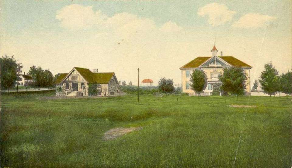
Area Surrounding Library and Webster School C 1910
